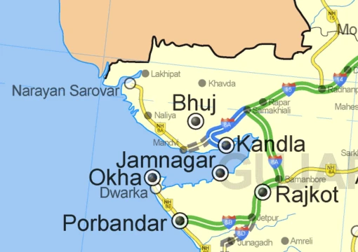
Computer cartography
Computer cartography replaced traditional pen-and-paper mapmaking.

Computer cartography, also called digital cartography, is the art, science, and technology of making and using maps with a computer. This technology represents a paradigm shift in how maps are produced, but is still fundamentally a subset of traditional cartography. Its primary function is to produce maps, including accurate representations of areas for navigation and thematic maps. Computer cartography is one of the main functions of geographic information systems (GIS), though GIS is not necessary for computer cartography and has functions beyond mapmaking.
- field
- Cartography, Digital Mapping
- known_for
- Paradigm shift from paper to computer-aided map production; integration with GPS for real-time navigation
- milestone
- More maps created and distributed with computers than on paper achieved in the mid-1990s
- key_technology
- Global Positioning System (GPS) satellite network
Lore & Background
He described a 'map in–map out' (MIMO) system that facilitated digitization, modification, and reproduction of traditional maps. This simple system set the stage for more advanced geographic information systems developed later by geographers such as Roger Tomlinson. The milestone of more maps created and distributed with computers than on paper was achieved sometime in the mid-1990s.
Reader's Guide
Computer cartography's significance lies in its transformation of map production and use. Early digital maps offered the same basic functionality as paper maps—a 'virtual view' of roads and terrain. However, with the expansion of GPS technology, digital maps gained live traffic updates, points of interest, and service locations, becoming more 'user conscious'. Users can now choose between virtual maps, satellite views, and hybrid views. Three-dimensional maps can be generated using 3D scanners or reconstruction software. The principal driver of digital mapping's growth has been its connection to GPS technology, which provides coordinates and atomic time from satellites to calculate routes. GPS receivers collect data from at least four satellites, calculating position in three dimensions with accuracy within 10–20 meters. Mapping software then outputs real-time visual routes, recalculating if the user drifts off course.
Did You Know?
- The first peer-reviewed publications on using computers in cartography predate the introduction of full GIS by several years.
- GPS receivers collect data from at least four satellites to calculate position in three dimensions.
Frequently Asked Questions
What is Computer cartography?
Computer cartography is the discipline of designing, producing, and utilizing maps through computer technology. It spans the art, science, and engineering of digital map creation and remains a specialized branch of traditional cartography.
What is Computer cartography most known for?
It is best recognized for transforming map production from hand-drawn paper into computer-aided digital processes. Its pairing with the GPS satellite network also made real-time, location-aware navigation possible for everyday users.
Is Computer cartography the same thing as GIS?
No. While producing maps is one of the core tasks within a geographic information system, the two are distinct: GIS covers a wider range of spatial analysis functions, and computer cartography can operate on its own without a full GIS platform.
When did digital maps overtake paper maps in volume?
By the mid-1990s, the number of maps generated and distributed with computers surpassed those made on paper. That crossover point is widely cited as the moment digital cartography became the dominant production method.
More in Maps & Their Symbols 1-24
Elsewhere in the Maps & Their Symbols universe
Spotted an error? Know more?
This is a living reference — every entry is fact-audited, and reader corrections feed straight into our audit queue. Suggest an edit · See this site's audit record